
How Belmont Property Records Work
Belmont's paper trail splits between county and city. The county holds the title side. The Assessor and MapWV identify each parcel, its owner field, and its tax map. The County Clerk holds the deeds and plats. The Sheriff carries the tax account. Belmont's City Clerk covers permits and municipal services, and the city site adds City Recorder and Municipal Court sections. Each source adds a layer. A utility file or municipal permit must still be matched to the county parcel and deed before it speaks to land title.
The city lens helps when an old deed names Belmont, an acreage tract, a road, or a service connection, so give the municipal office the street address and the county parcel key. For the county sequence, begin with the Pleasants County property search. Belmont's added question is which city record explains a permit, street, service, or ordinance matter.
- Identify the parcel in the county assessment or map record.
- Save the district, map, parcel, suffix, legal description, and deed reference.
- Ask the Belmont office for a permit, utility, or ordinance record by address and PID.
- Compare any city file with the county deed and assessment card.
Belmont Property Records: County and City Sources
Belmont has no separate city deed recorder. Pleasants County custodians hold the assessment, the tax map, and every recorded land instrument. The municipality keeps only its own records. Its public description names building permits alongside water, sewer, trash, streetlights, service applications, and community events.
County Parcel and Deed Custodians
Pleasants County Assessor and County Clerk
301 Court Lane, St. Marys, WV 26170
Assessor 304-684-3132 · Clerk 304-684-7637
The Belmont City Clerk page states the municipal permit and service responsibilities.
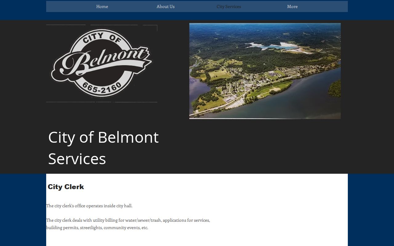
Use City Hall for the municipal file. Then match any permit detail against the county parcel and the recorded instrument.
Belmont Property Records and Place Clues
Belmont's official pages publish no complete subdivision roster. The strongest map clue is the county's official `01_Belmont_Corp` folder in the Pleasants tax-map archive. The WVGenWeb cemetery index adds Poor Farm/Belmont. That name is historic, not a subdivision. Street and lot names should come from recorded plats, not from a guessed neighborhood label.
| Verified clue | Era information | Record use |
|---|---|---|
| Belmont Corporation folder | Map-folder evidence; exact map list not extracted | Ask the Assessor for district 01 sheet numbers |
| Poor Farm / Belmont | Historical place reference; date not established here | Use as a location clue only, not a subdivision |
| Belmont city lots and streets | Historic lot roster not published in reviewed pages | Search Clerk PLAT and DEED with plat records |
| Ohio River and rural edge | County landscape clue, not a neighborhood date | Compare deed description and road or tract references |
An honest list beats an invented name. Ask the County Clerk or City Recorder for plat books, corporation maps, and any subdivision index the offices keep.
Belmont Corporation Map Folder 01
The West Virginia GIS archive sets Belmont apart from rural Pleasants districts under `01_Belmont_Corp`. That folder is the strongest municipal map reference available. The archive does not list exact Belmont map numbers, parcel ranges, a current boundary map, or a map-book key. When a parcel sits near the city edge, ask the Assessor for the right sheet. Compare the corporation line against the deed or plat.
The official Pleasants County map directory shows the municipal folder.
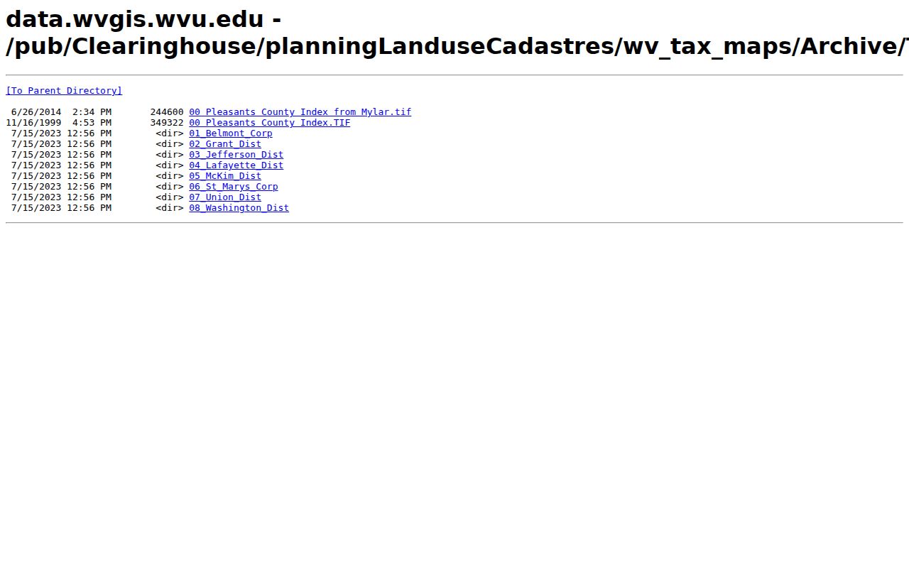
Treat the folder as an official map lead. Confirm the right sheet with the county Assessor before relying on it.
Belmont Property Records and the City Edge
Belmont's official and state directory listings use ZIP 26134. A ZIP code is a postal locator, not a parcel identifier or annexation boundary. A property can carry a Belmont mailing address while sitting outside the corporation. A city parcel can also use a different E-911 or street form. Check the tax district and corporation line first.
The city publishes no full incorporation or annexation chronology, no boundary map series, and no ZIP crosswalk for PO boxes and rural routes. Ask the City Recorder or Clerk for the charter and annexation ordinances. Then compare them with the county tax maps. A utility connection can show a municipal service relationship. It never establishes ownership or city jurisdiction by itself.
Belmont Property Records at the Permit Counter
The City Clerk handles building permits and city-service applications. It also runs water, sewer and trash billing, streetlights, and community events. The city publishes no online permit-search form or field inventory. There is no web search by permit number, address, parcel, project type, status, or date. Call City Hall at 304-665-2160 and ask how it accepts a records request.
| Publicly stated duty | Building permits and city service applications |
|---|---|
| Searchable form | No public permit form was captured |
| Request identifiers | Current/historic address, county PID, legal description, and approximate year |
| Other city duties | Utilities, streetlights, and community events |
Name the file you want: building, demolition, addition, utility, street opening, or ordinance record. Those are request topics, not online filters. The City Clerk's page also lists fax 304-665-2901. Ask for current application steps and fees, since the city does not publish them.
Belmont Property Records and Recorder/Court Files
Belmont's city website organizes its information into City Recorder, City Clerk, City Council, Municipal Court and ordinances, the Fire Department, news and notices, and CCR reports. Those pages answer municipal questions. For a deed, a recorded ownership change, or a county parcel map, Pleasants County holds the real custodians. The County Clerk records land instruments, and the Assessor keeps the parcel data. Ask the City Recorder about municipal plats, corporation materials, or other local records the site mentions, then confirm any recorded instrument with the County Clerk before treating it as final.
The state municipal contacts directory lists Belmont in Pleasants County at PO Box 375, Belmont, WV 26134, along with the City Hall telephone number. It also names the current recorder and clerk. Officers change, though. Confirm who holds the office before mailing a formal request. The Belmont municipal home page remains the best live route to the city's service, recorder, and court sections.

The menu routes city questions well, but Belmont publishes no county parcel database through it.
Belmont Utilities and Property History
Belmont's City Clerk page folds utility billing into general city business. Water, sewer, and trash billing appears alongside service applications, building permits, streetlights, and community events. That mix helps a house-history request. A vague phrase like "property file" may leave staff guessing. Name the service, the address, the date range, and the parcel ID. A utility application shows when a city service was requested. It does not change the owner of record on any deed or assessment.
For an older property, ask about a former address. Find out whether the city keeps a street or permit record filed under it. Pair that answer with the County Assessor's physical and E-911 address fields and the Clerk's legal description. The city does not state which permit fields it stores. Ask the Clerk what a file contains before relying on it.
Belmont Address to Parcel
A Belmont parcel may appear as a city lot. It may also appear as an acreage tract, or as a district, map, and parcel combination. The current address can differ from the E-911 address. It can also differ from the wording in an older deed. Capture the full county PID from the assessment report. Also capture the Map-Parcel number, the legal description, the owner field, and the Book/Page citation. Then ask the municipal office to search its own records by both current and historic address. The county parcel is the shared key between city and county systems.
Search terms should include the owner or entity name. Include the known street or road, and any lot or addition named in the deed. The city publishes no subdivision roster or map-number range. Check the official tax-map folders, or ask the County Clerk for the recorded plat. Do not assume a ZIP code or street name pins down the right tract.
Belmont Property Records in Neighborhoods
Belmont's public pages offer no complete list of subdivisions or neighborhoods. The Clerk's index provides no searchable plat roster. Start instead with the municipal map folder and the lot or tract wording in the deed. Search PLAT, and DEED with plat, in the County Clerk index. If the city site uses a local name the index lacks, ask the Recorder or Clerk for the older lot designation. Ask for its map sheet as well.
Poor Farm/Belmont appears in the cemetery index as a place clue. It can help interpret a historic description. It proves nothing about a subdivision, a parcel boundary, or ownership. Tie every local search back to evidence in the county deed or the assessment card.
Belmont Property Records, Value and Development
The Assessor's 60 percent assessment level and annual books all apply at the county level. The office also visits property every three years. The county publishes no Belmont-only value trend or neighborhood revaluation table. A city permit can suggest a possible improvement. Compare it against the assessment class and land value. Check the building value and the recorded deed too before drawing conclusions. A current transfer or project may be involved. Note the Tax Year and date on the public card in that case.
Never claim a percentage change from a single card. For a careful comparison, collect several parcels in the same district across tax years. Note exemptions and class. Match recorded sales separately. Belmont's city services and county value records add context. They create no published city trend.
Belmont Municipal Contacts
The West Virginia Secretary of State's municipal contact page lists Belmont's county, mailing address, and telephone. The city site is the direct route to its Clerk, Recorder, Municipal Court and ordinances, and service pages. Confirm current names and forms there before mailing anything. The directory is a contact trail only. It is not an ownership record. Use the Secretary of State municipal directory to check the Belmont entry itself.
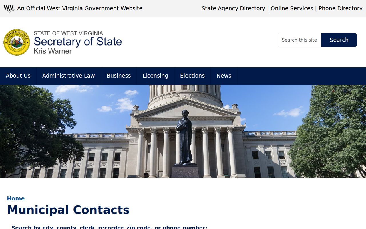
Use the directory to confirm how to reach the municipality. Then send the parcel or deed question to the county custodian who actually holds those records.
Belmont History and Record Limits
Belmont is the county's other incorporated place. Its 2020 population is 872 in the official county roster. The city's public site leans toward services and contacts. The county's property records carry the parcel, deed, assessment, and tax trail. Belmont publishes no annexation history, subdivision list, permit-search index, map series, or value trend.
For an older property lead, the library's family collection and newspaper archives can supply names. The Historical Society, the cemetery index, and the State Archives can supply local context. Verify title in the county instrument. Verify a permit or service detail with Belmont itself. A ZIP code, a cemetery reference, or a city page alone settles no parcel line. It settles no title claim either.
Lawful use. These county and municipal files support property diligence and local history. Do not use owner information to stalk, harass, or harm anyone.