
Layers in Pleasants County Parcel Maps
The WV Property Viewer offers several location layers. Parcel and Address modes find the tax parcel. Flood Zone data and outside basemaps add context. Click a parcel in Pleasants County and the details panel can show Community, E-911 Address, Delinquent Status, flood information, external map links, and an assessment-report link. Keep each layer's source clear, because a map label, an assessment card, and a deed answer different questions.
| Map layer or field | What it shows | Use in a Pleasants search |
|---|---|---|
| Parcel / PID | Selected tax parcel and its identifier | Carry the county, district, map, parcel, and suffix to records |
| Address / E-911 | Street and emergency-address labels | Compare spelling with the assessment card and deed |
| Tax map PDF | Map lines, lot labels, roads, district and corporation boundaries | Read original lots or additions in a stable sheet |
| Flood Zone | Flood context connected to the viewer | Keep separate from ownership and title facts |
| External map links | Google, Bing, and OpenStreetMap views | Use for orientation; preserve which source was consulted |
| Delinquent Status | A map-panel status field | Cross-check the actual account with Sheriff Tax Inquiry |
MapWV offers Details, Highlight, Copy Link, and Download KMZ. Copy Link saves a parcel view for later. Download KMZ supports visualization, but a Pleasants County parcel exported this way is not a certified survey or boundary dataset.
Find a Parcel in Pleasants County Parcel Maps
Start in Address mode. If the name fails, try a short street form, drop the punctuation, and test the E-911 version. One Pleasants County sample uses the physical "213 SECOND ST" and the E-911 "213 2ND ST SAINT MARYS WV 26170." A mailing address can differ yet again. When the address search stalls, switch to Parcel mode instead. Find the parcel visually, then open its detail.
Record the selected PID before moving the map. One example, 37-06-0001-0096-0000, breaks into county 37, district 06, map 0001, parcel 0096, and suffix 0000. St. Marys corporation uses district 06. The archive keeps a separate 01 Belmont Corp folder. A city name or ZIP will not reveal the tax district, so trust the assessment card's District, Map, Parcel No., Parcel Suffix, and legal description to confirm the map selection.
- Search the address or locate the property on the map.
- Select the parcel and turn on Details and Highlight.
- Copy the PID, E-911 address, district/map/parcel, and legal description.
- Open the assessment report and compare Book/Page and acreage.
- Use the matching PDF tax sheet or recorded plat for lot and street context.
Open a Selected Parcel in Pleasants County Parcel Maps
The MapWV panel does more than outline a parcel. It lists details and the assessment-report link. Tax map PDFs, flood information, and external map services appear there too. Delinquent status is a clue only. Confirm the amount, tax year, and payment history in the Sheriff's inquiry, and save the selected parcel view with its PID so a later search can be repeated.
The MapWV selected-parcel view shows the panel and its map controls for a Pleasants County parcel.
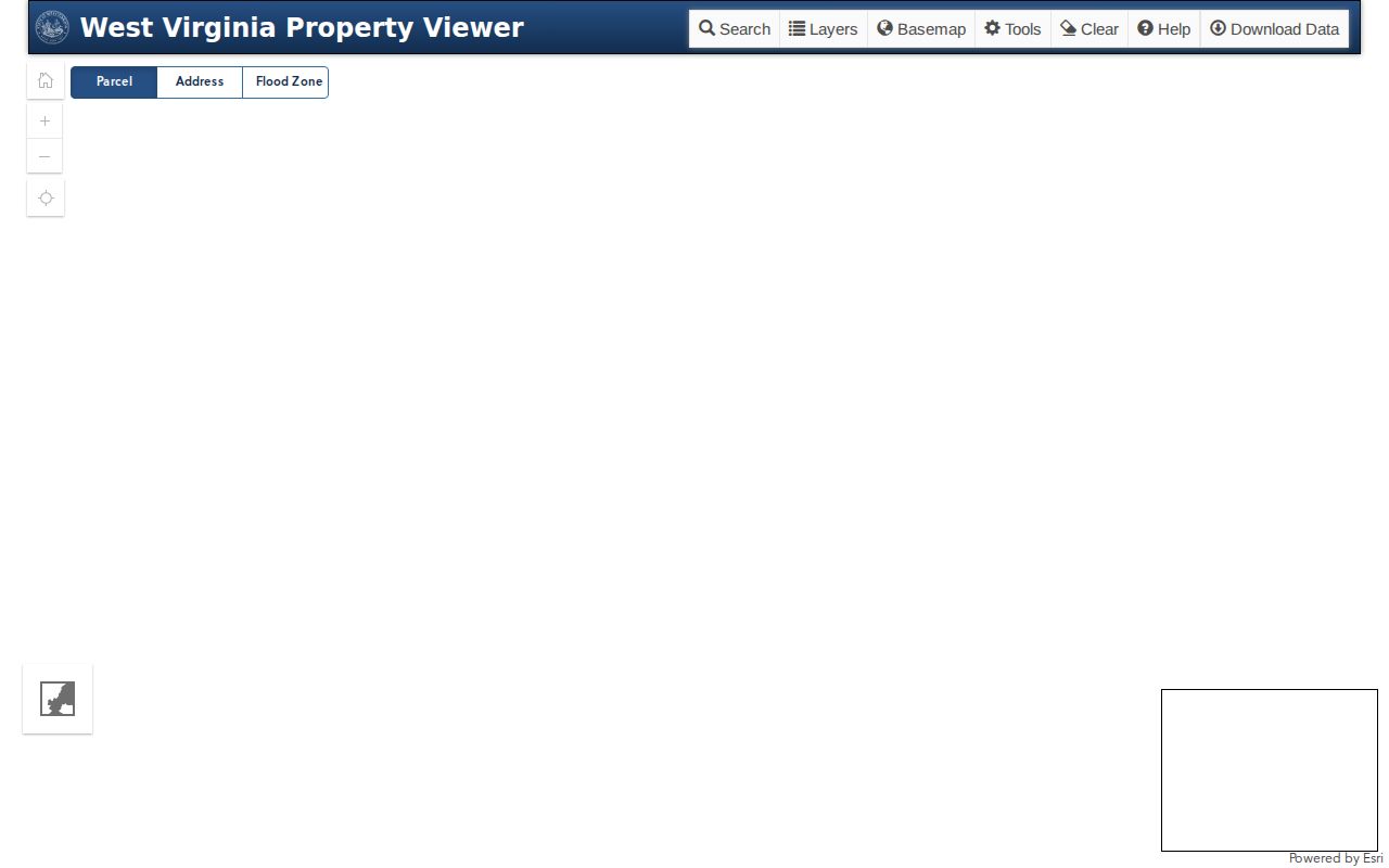
The detail panel carries the parcel key into Assessor and Clerk records. The map itself stays an orientation layer.
Pleasants County Parcel Map Archive
Printed tax maps still beat a screen for some readers. The official West Virginia GIS directory holds Pleasants County district folders, such as 01_Belmont_Corp and 06_St_Marys_Corp. It serves as a dependable fallback whenever MapWV is down. Open the county folder and pick the district. Then match the map number printed on the assessment card.
The West Virginia GIS Pleasants map directory displays the county folders.
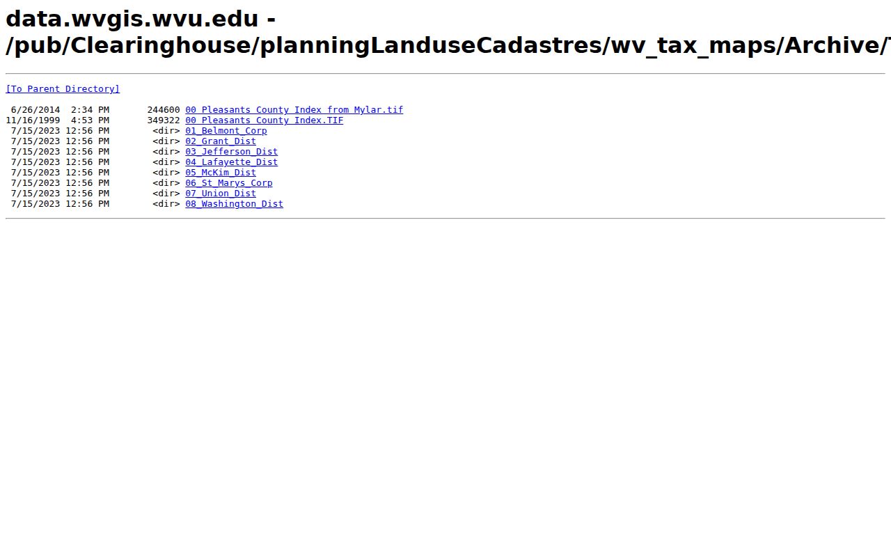
The folder structure confirms separate municipal map groups. Your parcel card supplies the map number.
Barkwill Addition in Pleasants County Parcel Maps
St. Marys tax map 06-0004 shows how map words lead into older records. The sheet labels Barkwill Addition and its numbered lots. Nearby marks tell the story. They include St. Marys Grade School, St. Marys Cemetery, Court Street, Washington Street, Pike, Morgan Avenue, the railroad, and the corporation line. Its legend keeps things separate: original lot lines, deed lot numbers, parcel or index numbers, roads, improvements, and government boundaries.
The sheet is District 06, Map 4. It was drawn at one inch to 100 feet. The sheet is marked February 27, 2016, and the archive path uses the 2019 PDF directory. Those details identify the sheet, but they do not make its drawn lines a survey. Search the County Clerk index for Barkwill, the numbered lot, PLAT, and DEED with plat to find the recorded instrument behind the parcel.
A scanned-map legend in Pleasants County says "FOR TAX PURPOSES ONLY." Sale, lease, or reproduction needs written Assessor permission. Use the sheet to locate and compare. For legal dimensions, get a recorded plat or survey.
Old place names help when a legal description refuses to match a current street address. Riggs Addition sits in the State Archives finding aid for Pleasants County records. Fairplains and Fairview appear in a January 2026 transfer report. Treat them as search leads, nothing more. Confirm the lot and map reference in the Clerk's plat or deed record before deciding two descriptions describe the same land.
Compare Lots on Pleasants County Parcel Maps
A Pleasants County tax map stacks several numbering systems on one sheet. Original lot labels, later deed-lot numbers, parcel index numbers, and corporation boundaries can all appear together. Each label belongs to its own layer of the record. A current PID rarely matches an older deed. In St. Marys, a deed may name Barkwill Addition or an original town lot. The assessment card leans on district 06, map, parcel, suffix, and the E-911 address. Match parcels through the legal description and Book/Page. Never assume identical wording across documents.
Belmont's archive holds a corporation map folder under district 01. The sheet list and parcel ranges stay with the office itself. Ask the Assessor or City Recorder for the correct sheet. Do this when an address sits near a corporation edge. Search the deed index with the current street form. Add any older addition, road, church, or river description. Record map terms exactly as found. Deeded acres and calculated acres sometimes differ. Keep both figures and ask the Assessor how each is used. A small gap alone proves nothing.
Follow a Link from Pleasants County Parcel Maps
MapWV's Copy Link saves a selection for later return. Download KMZ helps with local visualization. The viewer's outside links to Google Street View, Google Maps, Bing Maps, and OpenStreetMap are handy for comparing roads and structures. None of them are county parcel records. When an outside basemap disagrees with the tax layer, note it and confirm the spot with the Assessor or a recorded plat.
Many Pleasants parcels touch a road, stream, railroad, or river edge. A visible gap may be a public right of way. An easement can also cross a parcel without moving its boundary. Access questions belong in the County Clerk index. Search there for EASEMENT, RIGHT OF WAY, STREET DEED, and ASSIGNMENT R/W. The map line alone never sets access rights.
City Lines on Pleasants County Parcel Maps
Pleasants County contains just two incorporated places, St. Marys and Belmont. Neither one runs its own deed office. The county Assessor and the County Clerk hold the parcel and land records for both. A ZIP code tells you about mail delivery, nothing more. St. Marys sits in ZIP 26170 and Belmont in 26134, but postal lines and city lines rarely match. To pin down a corporation boundary, check the county district and corporation line drawn on the parcel map.
Inside St. Marys, city code Article 1311 requires Planning Commission approval before any subdivision plat or replat can be recorded, once the applicable plan and ordinance have been adopted and filed with the County Clerk. A new plat therefore carries two dates worth keeping straight: city approval and county recording. Belmont publishes no searchable subdivision or permit map on its municipal pages. For a parcel near the city edge, ask City Hall and the county custodian directly.
Limits of Pleasants County Parcel Maps
A Pleasants County parcel map exists for tax mapping and record navigation. It is a locator, not a legal verdict. Expect the mapped parcel, lot labels, roads, corporation lines, and related references. It certifies no boundary. It proves no ownership or right of access. The map itself says it serves tax purposes only. A recorded plat supplies subdivision dimensions and dedication language. A boundary dispute calls for a survey.
For an owner question, compare MapWV with the assessment Owner(s) field and the latest recorded deed. For taxes, verify a delinquency flag with the Sheriff account. For a city-edge question, compare the corporation line and district rather than the mailing ZIP, which keeps the parcel map in its proper role as a strong cross-reference rather than the final legal source.
Map limitation. The county tax map is marked “FOR TAX PURPOSES ONLY.” Do not rely on its linework as a boundary survey or title opinion.