
Search St. Marys Property Records
The right office depends on the record you need. The county assessment report pairs an owner name with a parcel. The County Clerk index holds deeds, plats, and liens. The Sheriff handles tax status. MapWV gives a map view. St. Marys offices add building permits, licensing, city taxes, ordinances, streets, and utility context. A city permit can explain a house alteration, but it never proves title.
The local route is short. Start with the Assessor or MapWV for the parcel, then pull the instrument from the County Clerk and check the Sheriff for the tax bill. A plat or map adds lot context. St. Marys Building/Permitting covers city work. Pair a city permit with the county PID whenever an improvement or an old street label needs tracing, and see Pleasants County property search for the mechanics of an address lookup.
- Record the St. Marys address and any historic lot or addition name.
- Match it to the county district, map, parcel, and suffix.
- Compare the assessment card's Book/Page with the recorded deed or plat.
- Ask St. Marys about building, permit, licensing, or ordinance records for the site.
Where St. Marys Property Records Are Kept
Two levels of government hold these records. County custodians keep the assessment cards and land instruments. The city keeps service and code files. St. Marys is the Pleasants County seat, so the courthouse doubles as a local landmark for anyone walking the paper trail. Never treat a city permit file and a county deed as the same record.
County Land Record Custodians
Assessor, County Clerk, Sheriff/Tax Office
301 Court Lane, St. Marys, WV 26170
Assessor 304-684-3132 · Clerk 304-684-7637
St. Marys Building / Permitting
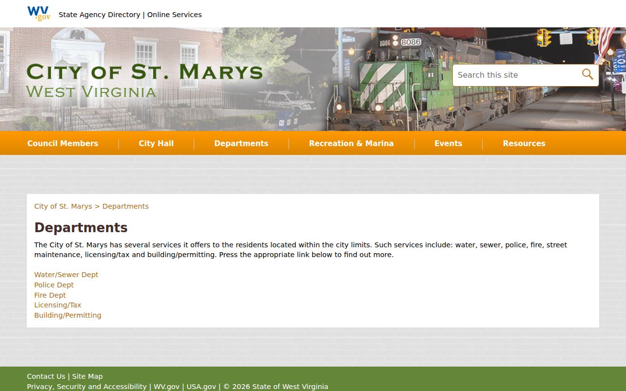
City departments include Building/Permitting and Licensing/Tax
Use the city department directory to reach the current office.
The city's department list identifies the relevant municipal services.
The city runs its own permitting service. The county's assessment and deed records still establish the parcel and its full transfer history.
St. Marys Property Records and Neighborhood Names
An addition name is a stronger lead than a guessed neighborhood label. The records listed here are verified anchors. They are not a complete subdivision roster. Dates appear only where a source supports them, since a map scan or transfer report cannot establish when every home was built.
| Neighborhood / record name | Era clue | How it appears in records |
|---|---|---|
| Barkwill Addition | On a map sheet dated 2016 | District 06, Map 4; search PLAT and DEED with plat |
| Fairplains Addition | Named in a January 2026 transfer report | Lot 15, St. Marys District, Map 5, Parcel 47 |
| Fairview Addition | Named in the same 2026 report | Lot 52, St. Marys District, Map 2, Parcel 303 |
| Original numbered lots | Historic town-lot references; exact dates vary | Map 06-0004 labels original lots and parcel/index numbers |
| Riggs Addition | Historic case clue, exact modern map not verified | State Archives finding aid lists plat-containing cases |
| School and cemetery vicinity | Map landmarks, not subdivisions | St. Marys Grade School and Cemetery appear on Map 4 |
Search the addition name together with the lot, map, and parcel in the county deed index. That term bridges an old description to a current parcel. The corporation boundary itself is a separate question.
Barkwill on St. Marys Map 06-0004
The St. Marys corporation archive covers District 06, Map 4. The scale is one inch to 100 feet. A scan dated February 27, 2016 appears in the official 2019 tax-map archive, labeling Barkwill Addition, original lot lines, deed lot numbers, parcel and index numbers, streets, improvements, the railroad, and the corporation line. Court Street, Washington Street, Pike, Morgan Avenue, the grade school, and the cemetery help decode a reference like “near the school” or “by the cemetery.”
Numbered lots are common in St. Marys deeds. Compare the deed's lot wording to the sheet. Then search for the recorded plat or deed attachment. Use Pleasants County parcel maps for the viewer and the tax-map legend. The legend explains each number. The tax map serves tax purposes only, so a recorded plat or survey remains the right evidence for dimensions and any disputed boundary.
The state directory splits the county by district. The West Virginia GIS Pleasants County map directory confirms that St. Marys has a separate municipal folder.
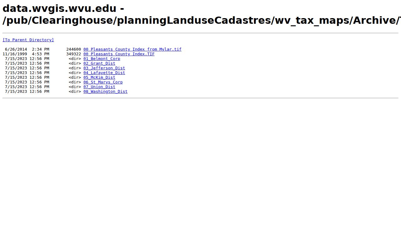
Find the right PDF by its folder name. Then check Map 4 against the current parcel key on the assessment card.
Address Clues in St. Marys Property Records
One parcel, several addresses. The county assessment sample lists Physical Address “213 SECOND ST” and E-911 Address “213 2ND ST SAINT MARYS WV 26170.” The mailing address is separate. Try both number spellings. Try both SAINT and ST forms too. An older instrument may say “2nd Street,” cite a lot number, or name an addition instead of a modern house number.
Save the district, map, parcel, suffix, legal description, and Book/Page together. A street label helps you find a place. The PID and deed description give the tighter link. When a permit shows a new address and a deed shows an old lot, give the city both forms plus the county parcel key when requesting the permit file.
St. Marys Property Records and Permit Files
The St. Marys departments page lists Building/Permitting and Licensing/Tax links. No public permit form appears there. The city publishes no searchable fields for permit number, address, parcel, applicant, project type, status, date, or inspection history, and no export option. That makes a direct request the practical route. Ask how the city accepts a permit record request and which identifiers it can use.
| What the public page confirms | Building/Permitting is a city service |
|---|---|
| Search form fields | No stable field list was captured |
| Useful request clues | Current and historic address, county PID, legal description, and approximate project date |
| County record check | Compare a permit with the Owner(s) field and recorded deed |
A permit may explain an addition, garage, or conversion. It does not establish ownership. The county deed and assessment card verify the parcel and the recorded owner, while the city page can point your request.
St. Marys Plat Approval and Recording
St. Marys code Article 1311 governs subdivision plats. Once the comprehensive-plan framework and ordinance are adopted and filed with the Pleasants County Clerk, a plat or replat must win Planning Commission approval before anyone records it. The article spells out application, notice and hearing, approval or disapproval, fees, conditional approval and bonds, improvement-location permits, and appeals. Two dates therefore matter on any subdivision record. One is the city planning approval. The other is the county recording. The Clerk records the approved land document, while the city handles the municipal review under its own ordinance. Ask both offices for the applicable decision and the recorded plat instead of assuming a permit search captures each piece. The St. Marys code library holds the ordinance reference. The city posts no verified fee amount online. Request the current schedule directly.
St. Marys Property Records at the City Edge
St. Marys addresses carry ZIP 26170 in county and assessor records. A postal ZIP draws no corporation line and sets no tax district. The county map marks district 06 and a corporation boundary instead. A property may sit near the edge. Compare the district, the map sheet, and the city line together. No complete public annexation chronology exists. The county publishes no official list of every annexed area. Never infer a date from a street label. St. Marys was founded in 1849, two years before Pleasants County formed in 1851. An old deed may call the same land a town lot. A newer assessment card may call it a corporation-district parcel. A boundary question needs the right documents. Request the city charter, the annexation ordinances, and the relevant county map key. A ZIP search checks the mail route, nothing more.
St. Marys Property Records and Value Signals
The Pleasants County Assessor applies the countywide 60% assessment level to ordinary fair-market value, draws on cost, market, and income methods, and views real estate at least every three years. The statewide MapWV assessment detail lists Tax Year 2026. The city itself offers no neighborhood trend table and no city-only revaluation. One parcel card can never prove prices rising or falling across St. Marys. For a single property, keep land appraisal, building appraisal, other improvements, total appraisal, class and use, and any deed consideration separate. A tax bill adds levies and account details. A permit may explain a recent improvement and help interpret the building component. It still creates no city value trend.
St. Marys River and Island Geography
St. Marys sits on the Ohio River where Middle Island Creek meets the water. The county also holds five Ohio River islands and rural land along French, Cow, and Bull creeks. That geography can leave a mailing address, an E-911 label, and a deed description looking nothing like a tidy street grid. Save the location field and the legal description separately. Then use the parcel key to check the map. Named communities outside St. Marys include Schultz, Horseneck, Calcutta, Arvilla, Hebron, Nine Mile, Mount Carmel, Shawnee, and Henry Camp. None are incorporated cities with their own property recorders. An old community name still works as a land-history clue, though, whether you are reading an older St. Marys-area deed or tracing a parcel near the city edge.
St. Marys History Archives
For house history, the St. Marys Oracle and Pleasants County Leader archives at the public library can tie an old address, resident, or event to a map label. The library also keeps a local family information collection. Ask staff which years are available. The library publishes no complete newspaper run and no reverse-directory series. The West Virginia Archives finding aid lists historic Pleasants circuit cases, including plat-containing matters tied to St. Marys, Riggs Addition, church trustees, and oil companies. The Historical Society's county history and picture index add local context. These materials help interpret a deed. They never replace the recorded instrument itself. The county's About page names St. Marys the county seat and one of two incorporated places. The county roster page supplies the official place list.

Check the city roster for jurisdiction context, then rely on the Clerk instrument and the county assessment record for ownership details.
Limits of St. Marys Property Records
The local record set blends county land evidence with city permits and code material. Neither a permit nor a tax map proves title or settles a boundary. The city permit form offers no online search fields. The subdivision roster stays incomplete, and no public annexation timeline exists. Ask the city and county custodians for the specific record you need. A web search alone is never the whole file. Owner and parcel details serve property research, house history, tax review, and planning context well. A legal transfer lives only in the recorded deed. A boundary dispute belongs with a qualified surveyor. The county's own map legend says the tax map serves tax purposes only.
Lawful use. These sources support due diligence and civic research. Do not use owner information to stalk, harass, or harm anyone.