
Find Pleasants County Neighbors
Neighborhood questions start with the subject parcel. From there, the county's mapped parcel key lets you compare every surrounding piece of land in Pleasants County. The definition matters, though: a touching tax parcel, another owner along the same road, and a lot in an older subdivision each answer a different question. MapWV documents no select-adjacent or buffer tool. Treat the map lines as a guide. Open each candidate parcel yourself before drawing conclusions.
| Source | What it can show around a parcel | Access / limit |
|---|---|---|
| MapWV selected parcel | Parcel line, PID, details, external links, assessment report | Select each nearby parcel; adjacent tool not confirmed |
| Assessor card | Owner(s), addresses, district/map/parcel, description | Use each parcel's own report |
| Tax map PDF | Lot labels, roads, additions, corporation lines | Official archive fallback; tax purposes only |
| Recorded plat or deed | Lot description, easement, road dedication, recorded relationship | County Clerk IDX or office |
| Assessor street search | Could help identify parcels on a road | No public text source confirms a block-list mode |
Map a Block for Pleasants County Neighbor Lookup
Good notes tie every owner to the right land. Start with one selected parcel in the viewer. Use Details or Highlight and save its PID. Then open each touching or nearby parcel. From every assessment detail, copy the Owner(s), the mailing and physical or E-911 addresses, the district, map, parcel, suffix, and legal description. Two parcels sharing one mailing owner should not be merged into a single entry. Nor should one tract be split just because the map shows several labels.
- Select the subject parcel in MapWV and record its PID.
- Zoom to the nearby tax lines and note road, stream, railroad, and corporation boundaries.
- Open each candidate parcel separately and save its PID and owner field.
- Use the PDF tax map to check additions and original-lot labels.
- Check the recorded plat, easement, or deed when adjacency affects access or a transaction.
The MapWV selected-parcel example shows the detail panel used to begin that comparison.
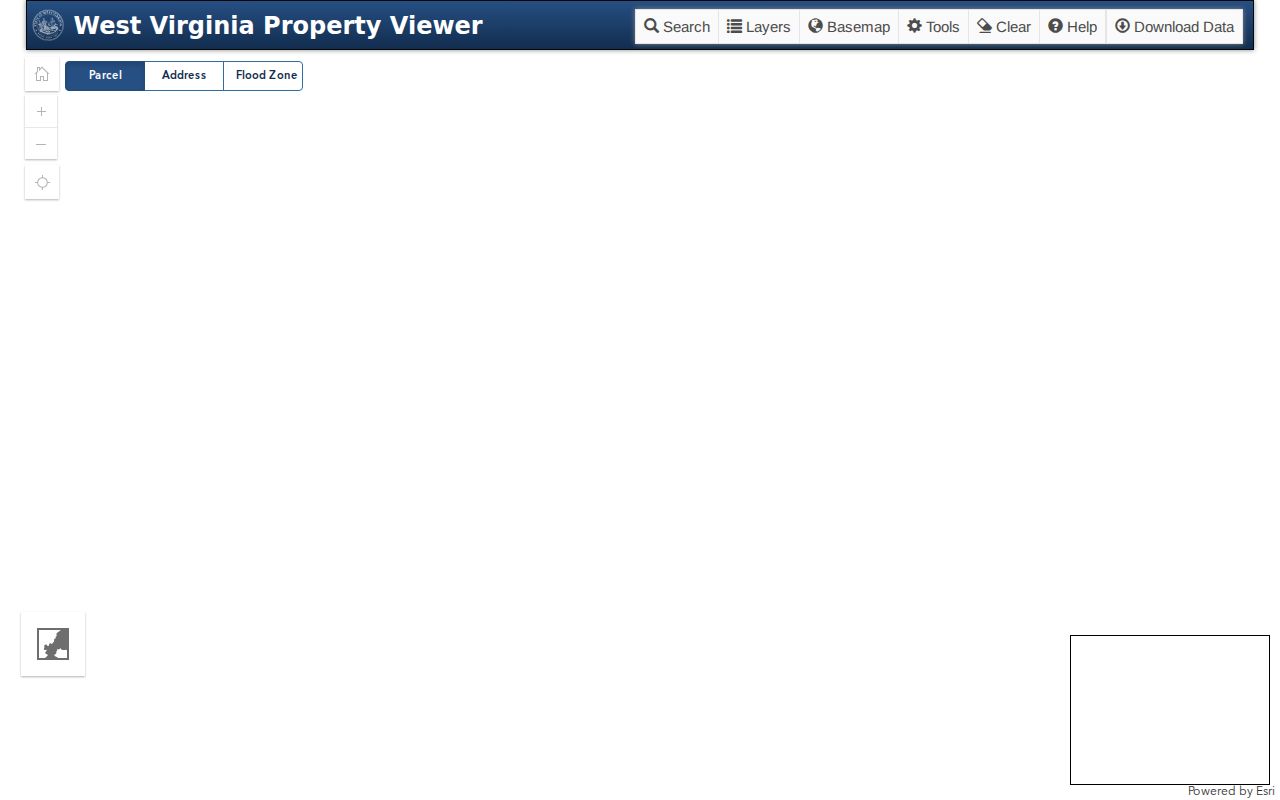
Repeat the selection for every nearby PID. The viewer promises no complete neighbor list, so the block map only fills in as far as you take it.
Use Parcel IDs in a Pleasants County Neighbor Lookup
A street number is a weak way to spot a neighbor. Pleasants County parcel IDs carry county, district, map, parcel, and suffix. The sample 37-06-0001-0096-0000 begins with county 37 and the St. Marys district 06. Map 0001, parcel 0096, and suffix 0000 follow. Compare adjacent parcels with the full ID. Keep every suffix intact. The assessor result also lists deeded and calculated acres. Treat them as two figures, not one.
MapWV offers Parcel, Address, and Flood Zone modes. Its Details panel shows the E-911 address and the Community. It also lists Delinquent Status and a link to the assessment report. Search by Address can help, though nothing confirms it builds a street-wide list. If a block search stalls, pick parcels straight off the map. Ask the Assessor whether scanned map cards or land books cover the rest.
For the full map legend and the PDF route, see Pleasants County parcel maps.
Read Pleasants County Tax Maps for Neighbor Research
The official GIS archive splits Pleasants County into folders. The folders cover 01 Belmont Corp and 06 St Marys Corp. St. Marys map 06-0004 shows Barkwill Addition. Its layers include original lot lines, deed lot numbers, and parcel and index numbers. They also show roads, improvements, the railroad, and the corporation line. Together they explain why a historic neighbor gets described by lot or addition. A current address may not apply.
The sheet is District 06, Map 4. It is dated February 27, 2016. The scale is one inch to 100 feet. Record an original lot number and a later deed-lot number separately. The legend treats them as different references. The corporation line and railroad can explain a visible gap, but neither supplies deeded dimensions. For another city, start with that city's own archive folder. Never assume the map numbers repeat.
The official Pleasants County tax-map directory lists the municipal folders.
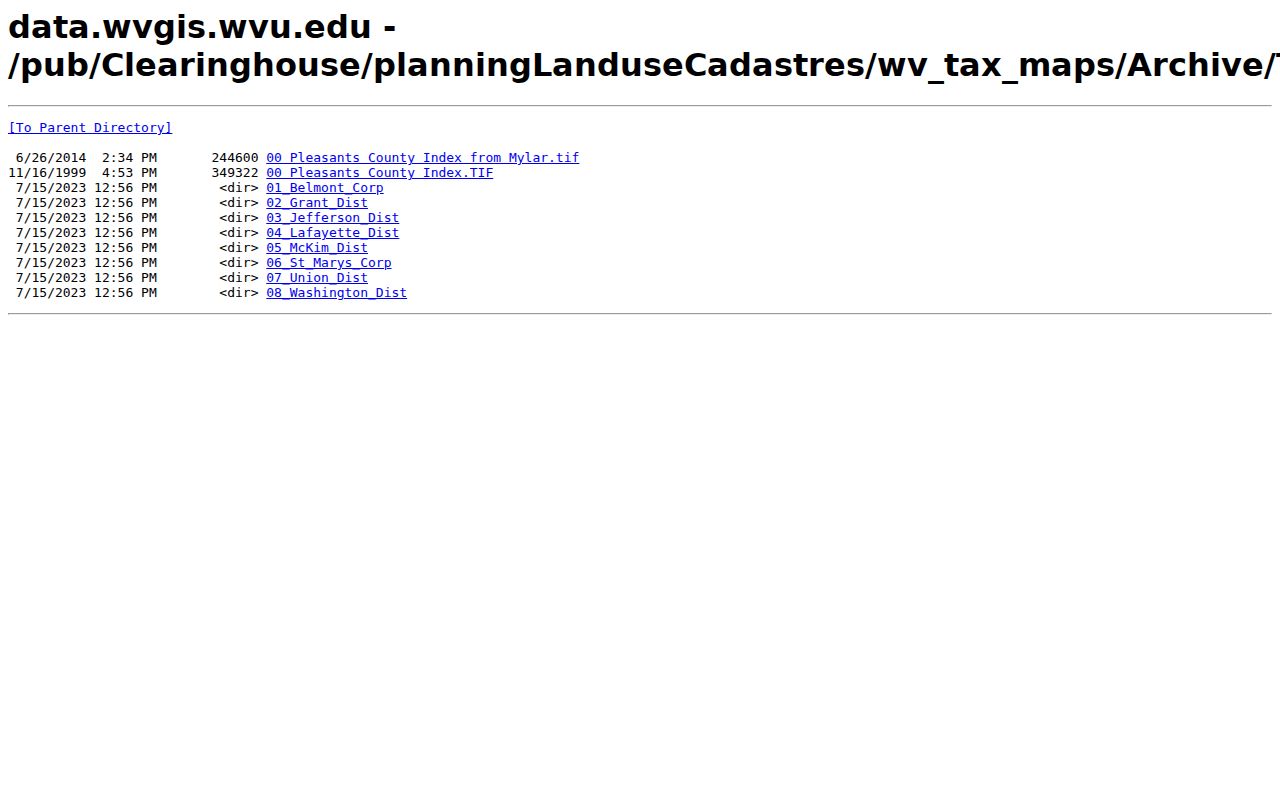
The map folder works well as a sheet locator. From there, connect each map label to its assessment PID and any recorded plat before trusting a neighbor match.
Separate Roads and Easements in a Pleasants County Neighbor Search
Touching on screen does not mean touching in fact. A road, stream, river, or railroad may sit between two lots that look adjacent. A road line may mark a public right of way. An easement can cross land without moving a boundary. Pleasants County's Clerk index includes EASEMENT, RIGHT OF WAY, STREET DEED, and ASSIGNMENT R/W types. Read the instrument and any attached plat. Do this before calling a route public access or a shared line.
Five Ohio River islands and several streams occur in the county. That river setting weakens map-only conclusions. A channel or island can separate nearby land. So preserve the source and scale of any map you use. For a question about a right, a boundary, or a purchase, ask a surveyor or the County Clerk for a recorded plat.
Compare City Edges in a Pleasants County Neighbor Lookup
St. Marys and Belmont keep their own corporation map folders. Pleasants County still holds the assessment and deed records. A postal address, a ZIP, and a tax district are different clues entirely. St. Marys uses ZIP 26170 and Belmont uses 26134, yet neither ZIP proves a parcel sits inside the city line. When nearby parcels sit on opposite sides of a corporation boundary, compare the district label and the tax-map line. Do not group them by mailing city.
Address style can mislead too. The sample physical address “213 SECOND ST” normalizes to the E-911 form “213 2ND ST SAINT MARYS WV 26170.” Neighbor cards can then show different street names. Compare PID and legal description first. Belmont's rural edge and incomplete public subdivision list call for a county map plus municipal confirmation rather than an assumed neighborhood boundary.
Check Each Owner in a Pleasants County Neighbor Lookup
The Assessor's Owner(s) field gives the roll name for a parcel, not a roster of who lives there. It may name an LLC, trust, or estate. A public body can hold title too. For a purchase, boundary, or civic question, keep the focus on parcels and recorded instruments. Search the County Clerk deed index for the grantor, grantee, easement, release, or plat tied to the mapped land.
One name can appear on several parcels. That does not make them a single property. Save one row per PID with map, parcel, suffix, address, and legal description. A newer deed can conflict with the Assessor's name. The county publishes no typical update delay, so ask about annual-book timing and confirm a recent transfer with the recorded deed.
- Adjacent
- Touching or near on a map; not a legal access determination.
- Parcel
- A unit in the county assessment and tax map system.
- Plat
- A recorded map that can describe lot dimensions and dedications.
- Buffer
- A GIS distance area; no such Pleasants viewer control was confirmed.
Request Pleasants County Block Records for Neighbor Research
An online view can leave gaps. Ask the Assessor for the county tax map, scanned card, or land-book entry using the subject PID and road name. The County Clerk holds the recorded plat, easement, or right-of-way instrument. City-edge permits belong with St. Marys or Belmont. Deed and assessment records, though, stay with county custodians.
For a public copy, West Virginia Code §29B-1-3 directs the request to the correct custodian. It also provides reasonable inspection during usual business hours. Specify the parcel, date range, record type, and format. Current copy fees and response dates are not published, so ask for terms before ordering a large record set.
Lawful use. Neighbor records support property diligence, boundary research, and civic work. Do not use a Pleasants County lookup to target, stalk, harass, or harm a person.